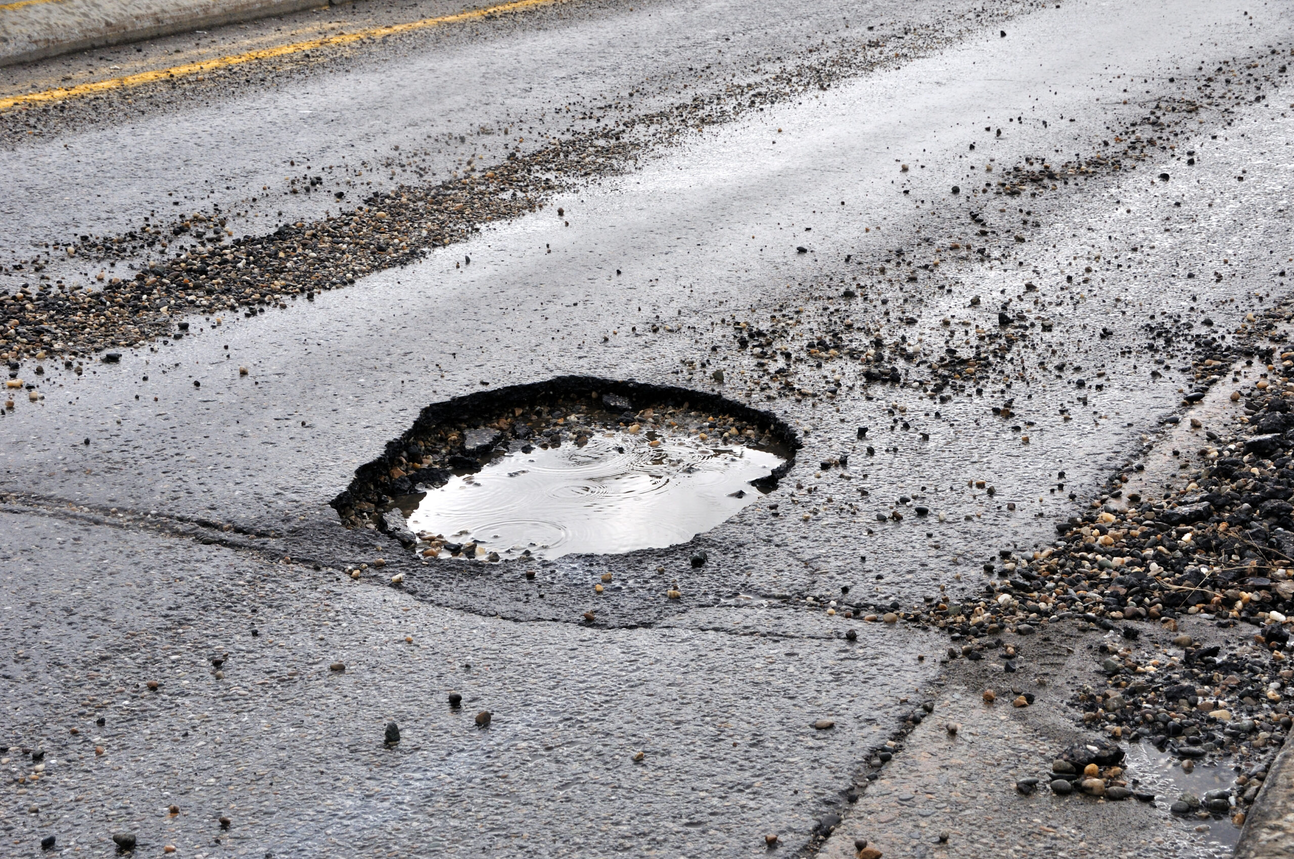
Victoria and NSW plan to use new technology to assess flood damaged roads across the states in both city and country areas.
Authorities in NSW is planning to use a fleet of public buses fitted with sensors to scan the road network and identify damage.
Victoria plans to use three trucks equipped with special scanning equipment and operated by the Australian Road Research Board (ARRB) to assess flood affected roads. The Intelligent Pavement Assessment Vehicle, or iPAVE is fitted to a truck pulling a large semi-trailer.
The technology is capable of collecting continuous video and data on pavement deflection, pavement surface condition, geometry, and spatial location. One of the vehicles is also fitted with ground-penetrating radar to assess the structural conditions underneath the asphalt.
The ARRB software then collates and synchronises the collected data, highlighting the roads which need to be repaired and prioritizing particularly affected areas.
“Already, crews are making a start on delivering large-scale, long-term repairs and this data will help to plan for further works, ensuring that the communities hit hardest by these floods remain connected to vital supplies and services,” Victorian Minister for Roads and Road Safety Melissa Horne said in a media statement.
NSW public buses operating in the Sydney metropolitan area will be fitted with special Cisco routers, with the routers use an accelerometer to record the roughness of roads.
ARRB has worked with the University of NSW to fit the buses with this new technology.
Consistent data can be drawn from the Sydeny’s bus routes without the need for additional vehicles or traffic controls.
The NSW Government recently pledged an additional $500 million to help fix flood-damaged roads, on top of its annual $1.5 billion budgeted for road maintenance throughout the state.
Did you find this article interesting? Give it a ‘like’ by clicking the ‘heart’ button above!